Study in Pictures🌐 English (United States)
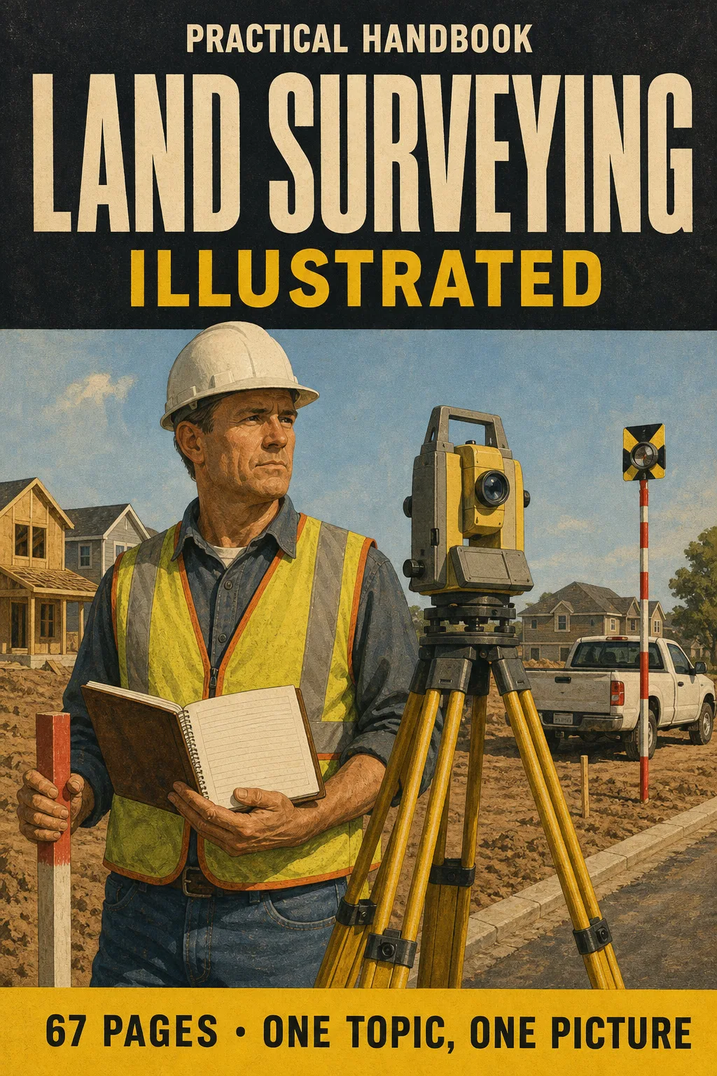
Land Surveying Illustrated

Digital book in PDF · read it on your phone or print it

Land Surveying Illustrated

Leveling, traverses, area by DMD, horizontal and vertical curves, GNSS, state plane coordinates, the PLSS grid and boundary law. Every topic gets its own page: the drawing first, then what you need to remember.

  • 67 illustrated pages
  • English
  • 30-day guarantee
US$ 37US$ 87
Get the book · US$ 37

Price shown for: United States. In other countries, the checkout shows the price that applies there.

About this book

What it is

Leveling, traverses, area by DMD, horizontal and vertical curves, GNSS, state plane coordinates, the PLSS grid and boundary law. Every topic gets its own page: the drawing first, then what you need to remember.

Who This Book Is For
  • You're studying for the FS
  • Your exam date is booked
  • You already run a crew
What it covers
  1. The Exam and the Math Toolkit
  2. Measurements and Errors
  3. Leveling
  4. Traverses, Coordinates and Areas
  5. Curves, Earthwork and Construction
  6. Geodesy, GNSS and Mapping
  7. Boundary Law and the PLSS
  8. Review and Exam Day
Language
English (United States)
Pages
67
Format
Digital book in PDF · read it on your phone or print it
Price
US$ 37 (United States)
Delivery
This is a digital PDF book sent to your email: nothing is printed or shipped.
30-Day Guarantee
30-day guarantee: if a file doesn't open, if the content isn't what the product page describes, if you were charged twice or the email never arrived, write to us and we'll refund you in full.

Look Inside the Book

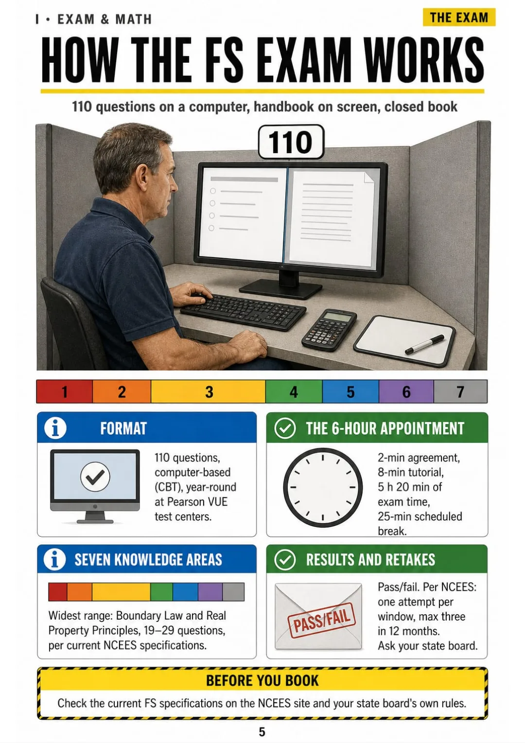
110 questions, 6-hour appointment, 7 knowledge areas: the FS exam on one page
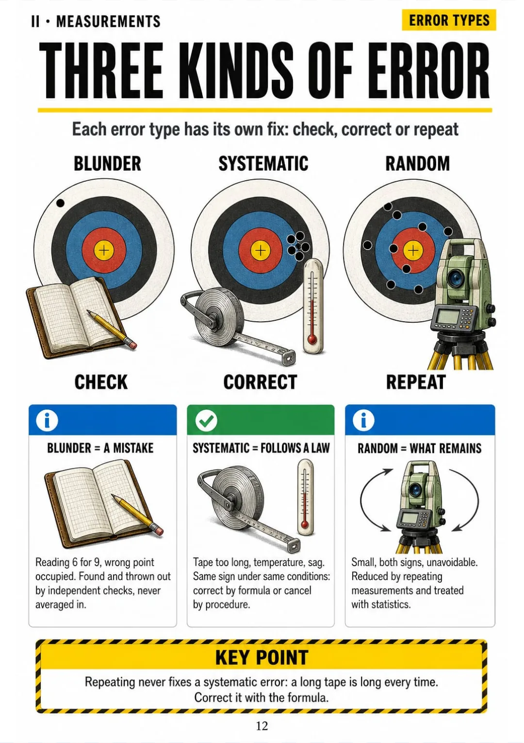
Blunders are caught by checks, systematic errors by formula, random errors by repetition.
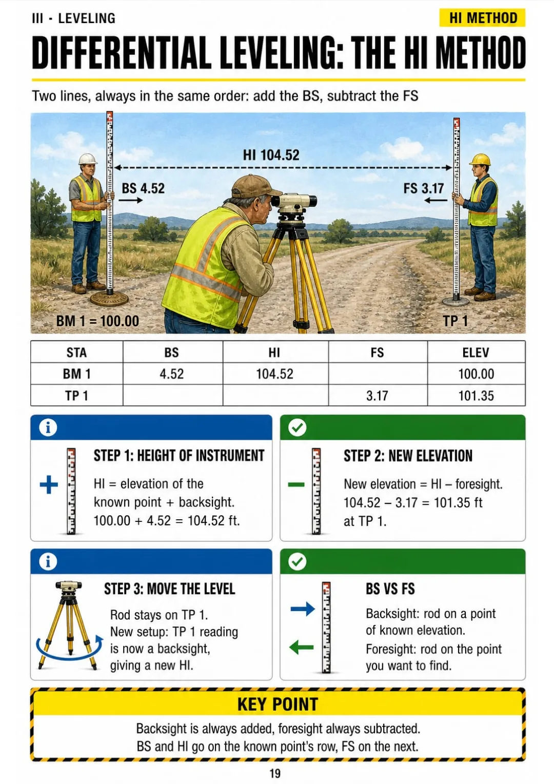
HI = elevation + BS · new elevation = HI − FS, drawn with the field book rows beside the level
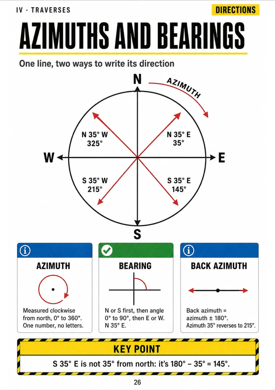
N 35° E = 35° · S 35° E = 145° · S 35° W = 215° · N 35° W = 325°
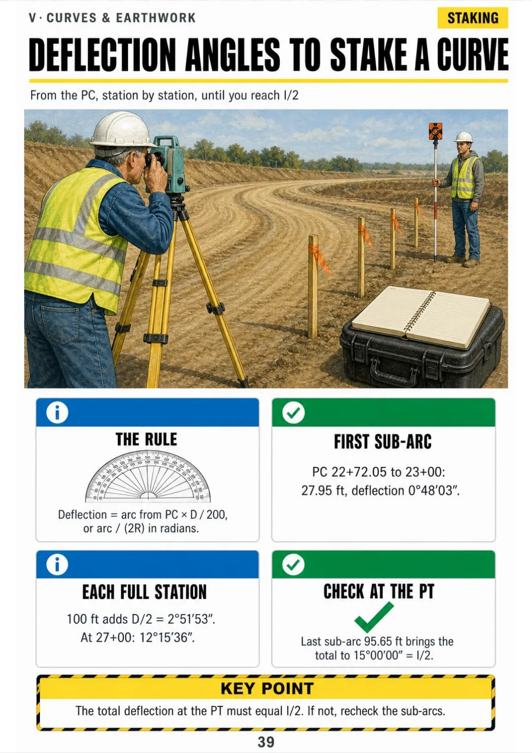
Deflections worked for R 1,000 ft, I 30°: 0°48′03″ first, 15°00′00″ at the PT.
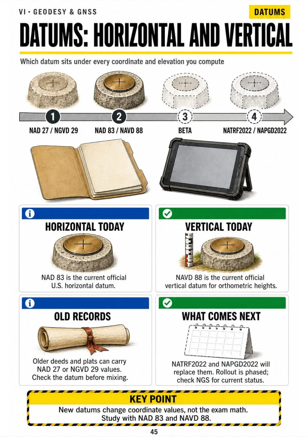
NAD 83 and NAVD 88 today; NATRF2022 and NAPGD2022 are coming in phases. Check NGS for status.
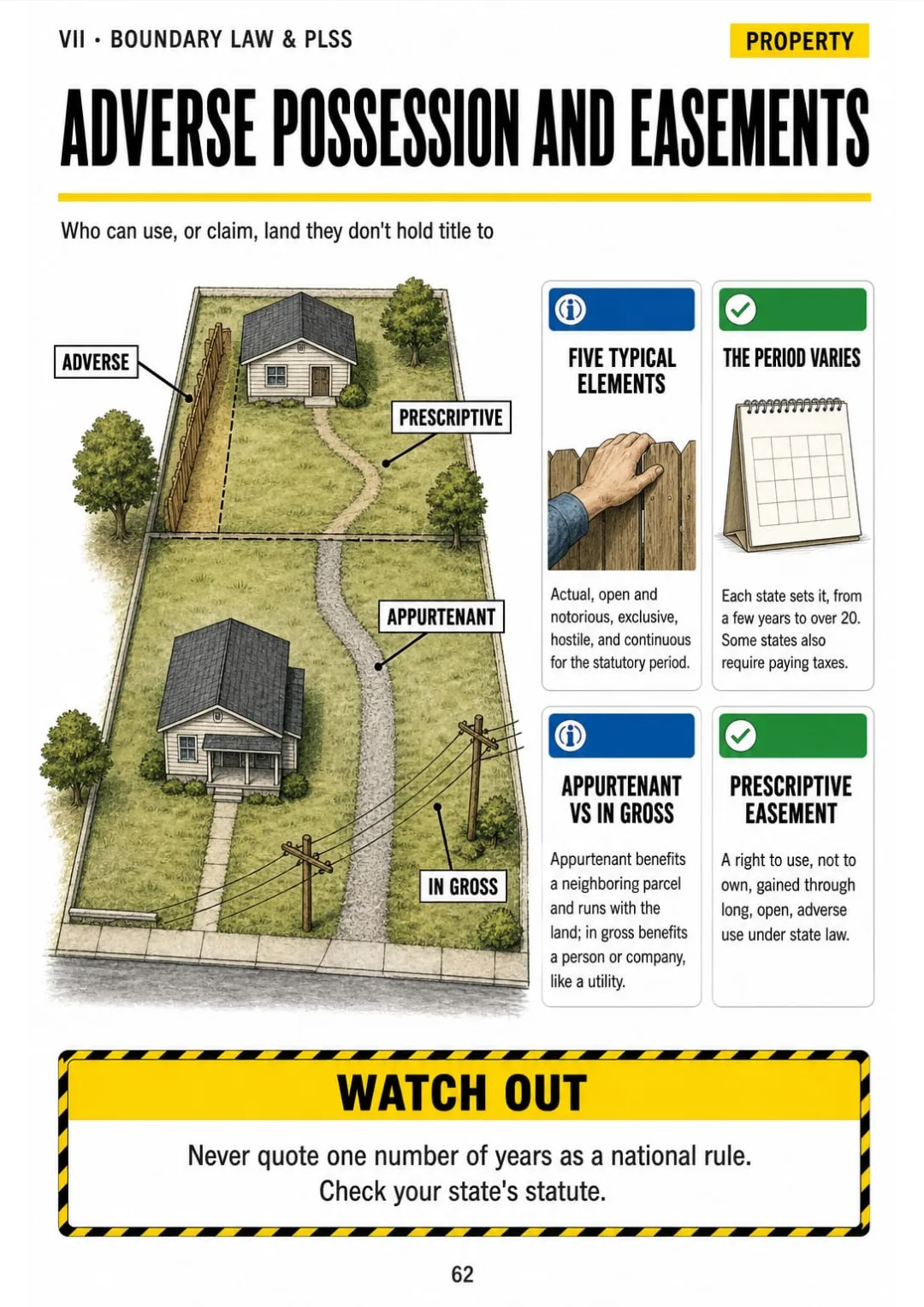
Adverse possession's five elements, plus appurtenant, in gross and prescriptive easements on one lot sketch.
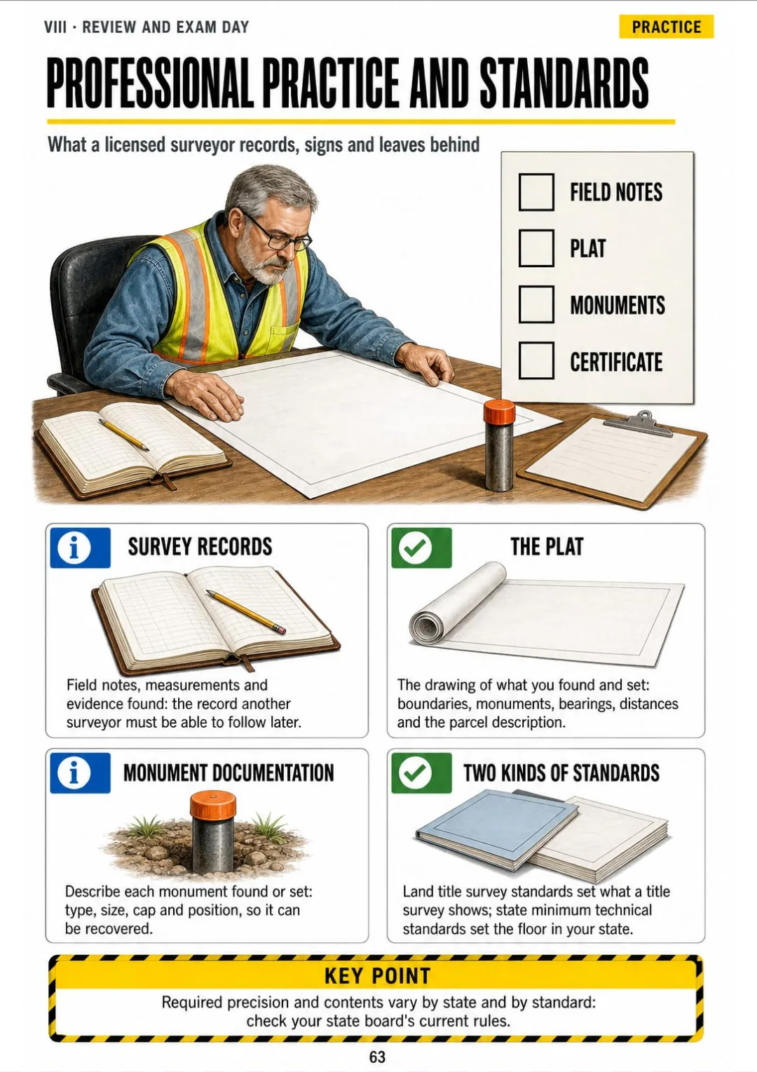
Field notes, plat, monuments and certificate: the surveyor's document checklist

Take a Look at the 8 Parts and 63 Topics

The Exam and the Math Toolkit

pp. 5-11
  1. How the FS Exam Works
  2. Finding Things Fast in the Reference Handbook
  3. Degrees, Minutes, Seconds and Radians
  4. Right-Triangle Trig in the Field
  5. Oblique Triangles: Law of Sines and Cosines
  6. Feet, Chains, Rods and Acres
  7. Stations, Grades and Slopes

Measurements and Errors

pp. 12-18
  1. Blunders, Systematic and Random Errors
  2. Standard Deviation and Standard Error of the Mean
  3. How Errors Add Up
  4. Weighted Mean
  5. Tape Corrections: Temperature, Tension, Sag
  6. Slope Distance to Horizontal
  7. The Total Station and EDM

Leveling

pp. 19-25
  1. Differential Leveling: The HI Method
  2. The Field Book Arithmetic Check
  3. Curvature and Refraction
  4. Balanced Sights and the Two-Peg Test
  5. Trigonometric Leveling
  6. Adjusting a Level Loop
  7. Profiles and Cross Sections

Traverses, Coordinates and Areas

pp. 26-36
  1. Azimuths and Bearings
  2. Angle Closure Check
  3. Carrying Azimuths Around the Traverse
  4. Latitudes and Departures
  5. Linear Misclosure and Precision
  6. The Compass (Bowditch) Rule
  7. Coordinates and the Inverse
  8. Intersections and Missing Courses
  9. Area by Coordinates
  10. Area by DMD
  11. Irregular Areas: Trapezoidal and Simpson's

Curves, Earthwork and Construction

pp. 37-44
  1. Parts of a Horizontal Curve
  2. Stationing the PC and PT
  3. Deflection Angles to Stake a Curve
  4. Vertical Curve Elevations
  5. High or Low Point of a Vertical Curve
  6. Earthwork: Average End Area
  7. Shrink, Swell and the Mass Diagram
  8. Slope Stakes and Grade Rod

Geodesy, GNSS and Mapping

pp. 45-52
  1. Datums: Horizontal and Vertical
  2. Ellipsoid, Geoid and Orthometric Heights
  3. GNSS Methods: Static, RTK, Base and Rover
  4. GNSS Error Sources and DOP
  5. State Plane Coordinate Zones
  6. Ground to Grid: The Combined Factor
  7. Convergence Angle: Geodetic vs Grid North
  8. Photogrammetry and Remote Sensing

Boundary Law and the PLSS

pp. 53-62
  1. The PLSS Framework
  2. Numbering the 36 Sections
  3. Reading Aliquot Parts
  4. Excess, Deficiency and the North and West Tiers
  5. Lost vs Obliterated Corners
  6. Reading a Metes and Bounds Description
  7. Order of Calls: What Controls
  8. Senior Rights, Sequential and Simultaneous Conveyances
  9. Water Boundaries
  10. Adverse Possession and Easements

Review and Exam Day

pp. 63-67
  1. Professional Practice and Standards
  2. The Most Frequent Calculation Mistakes
  3. One-Page Formula Map
  4. A Study Plan for Working Evenings
  5. Exam Day Checklist

Who This Book Is For

You're studying for the FS

Each topic on one drawn page, with a worked example in numbered steps, so the math you haven't done by hand in years comes back in order.

Your exam date is booked

Eight parts you can go through in the evenings, plus the formula map and the exam day checklist for the last week.

You already run a crew

The field work you know, the total station, base and rover, linked to the exam math it turns into. Print it and keep it in the truck.

Plus: 2 Free Books

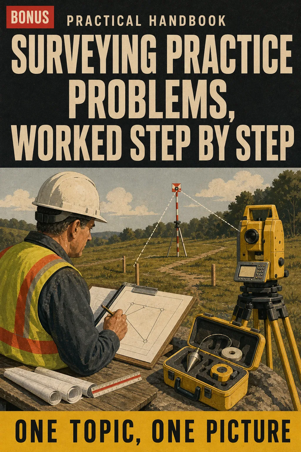
Surveying Practice Problems, Worked Step by Step
BONUS 1

Surveying Practice Problems, Worked Step by Step

Exam-style questions on every topic, each solved with the same steps as the book, so you practice the method before test day instead of guessing.
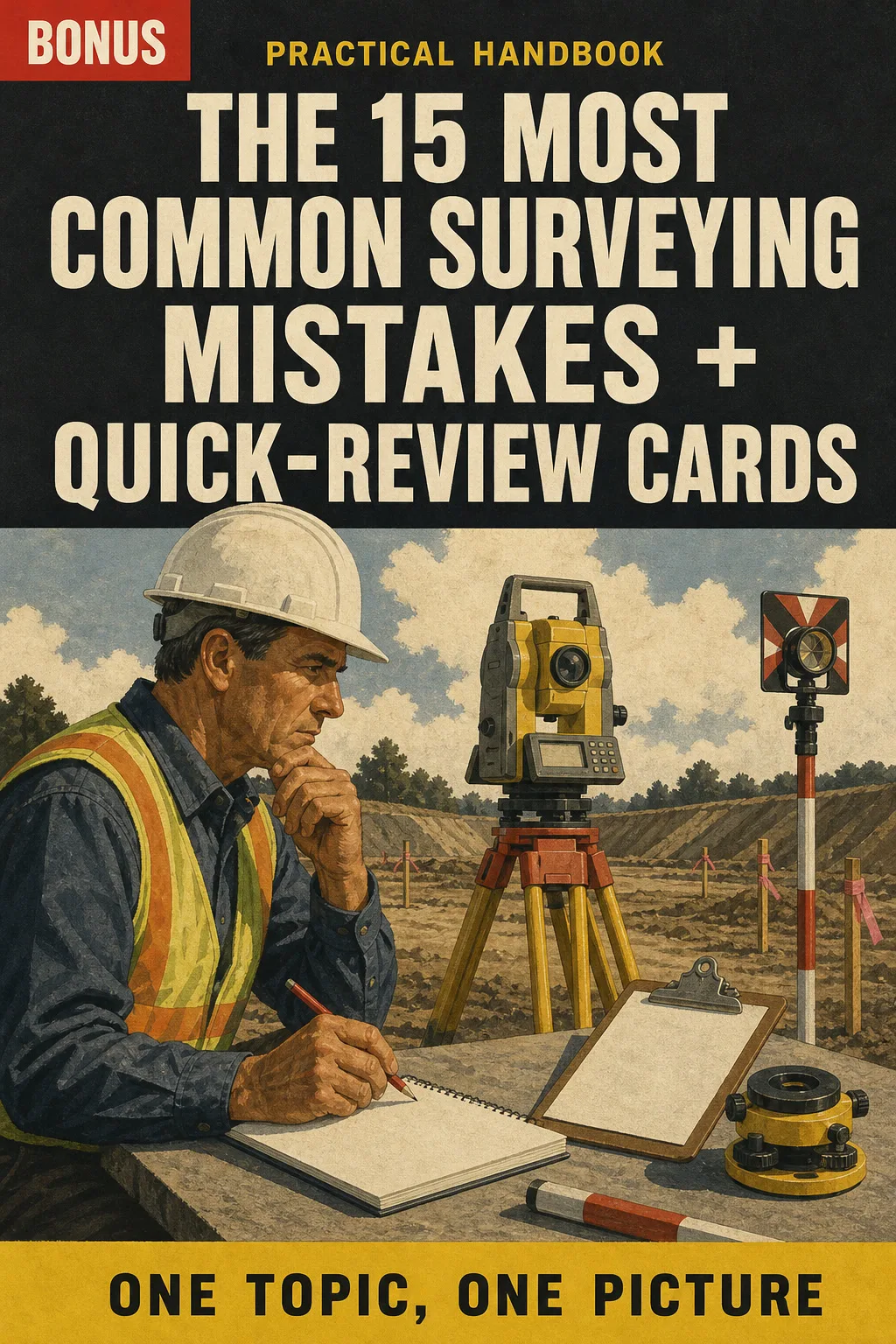
The 15 Most Common Surveying Mistakes + Quick-Review Cards
BONUS 2

The 15 Most Common Surveying Mistakes + Quick-Review Cards

The errors that trip up surveyors most often, drawn before and after, plus one-page review cards to go over the night before the exam.

30-Day Guarantee

30-day guarantee: if a file doesn't open, if the content isn't what the product page describes, if you were charged twice or the email never arrived, write to us and we'll refund you in full. You pay once. No subscriptions.

Frequently Asked Questions

Is it for me if I've been in the field for years but haven't done the math by hand since school?

Yes. It's built for working technicians: it starts from the field work you already know and shows the exam calculation step by step. It doesn't assume you're a beginner. It doesn't replace your reference handbook or your problem book either: it's the one drawn page per topic you look at before working the problems, so the steps come back in the same order.

Where does the content come from?

From the Fundamentals of Surveying exam specifications currently in effect, NGS (NOAA) datum and State Plane documentation and the BLM Manual of Surveying Instructions for the PLSS. The topics follow the current FS specifications, not an older outline. Drawings and worked examples are our own, in US units.

Is it official material?

No. It's an independent illustrated study book. It is not affiliated with or endorsed by NCEES, NOAA/NGS, the BLM or any state board, and it doesn't reproduce the reference handbook.

Does it replace a review course or my education requirements?

No. It's a study companion that puts each topic on one page. It doesn't come with a certificate or count as education hours, and it doesn't replace a course, your field experience or what your state board requires for licensure.

Are the practice problems the real exam questions?

No. They're written for this book in the style of exam questions, and each one is solved with the same steps the book uses.

When and how do I get it?

The book and the 2 bonus books arrive as a PDF by email.

Do I have to pay every month?

No. It's a one-time payment.

Can I have it on paper?

Yes. It's a printable PDF: print the whole book or just the pages you want to keep in the truck.

How does the refund work?

You have 30 days. We refund everything if the file won't open, if the book isn't what you see on this page, if you were charged twice or if the email doesn't arrive: just email us.

US$ 37US$ 87
Get the book · US$ 37

This is a digital PDF book sent to your email: nothing is printed or shipped.

More books on this topic

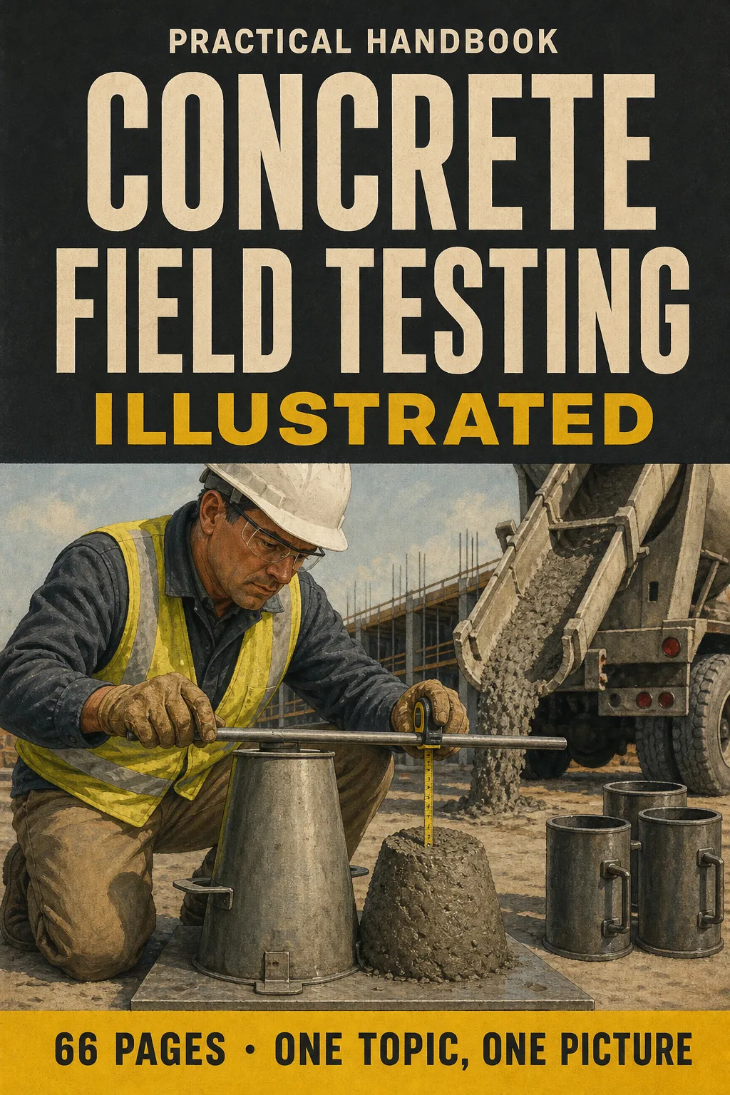
Concrete Field Testing Illustrated

Get ready for your concrete field testing technician exam with one illustrated page per topic: sampling, temperature…

From US$ 27 US$ 63

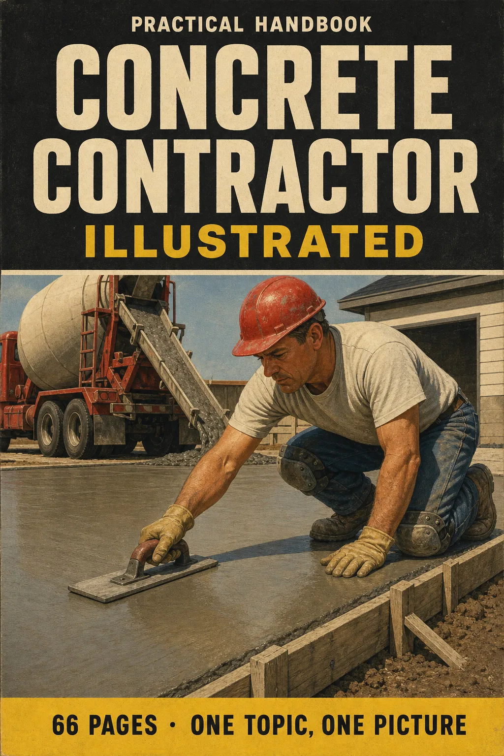
Concrete Contractor Illustrated

Concrete construction explained one topic per page, every topic drawn: mix, subgrade, formwork, rebar, placing…

From US$ 27 US$ 63

Tile Contractor Illustrated

Tile installation explained one topic per page, every topic drawn: substrates and deflection, layout without slivers…

From US$ 27 US$ 63

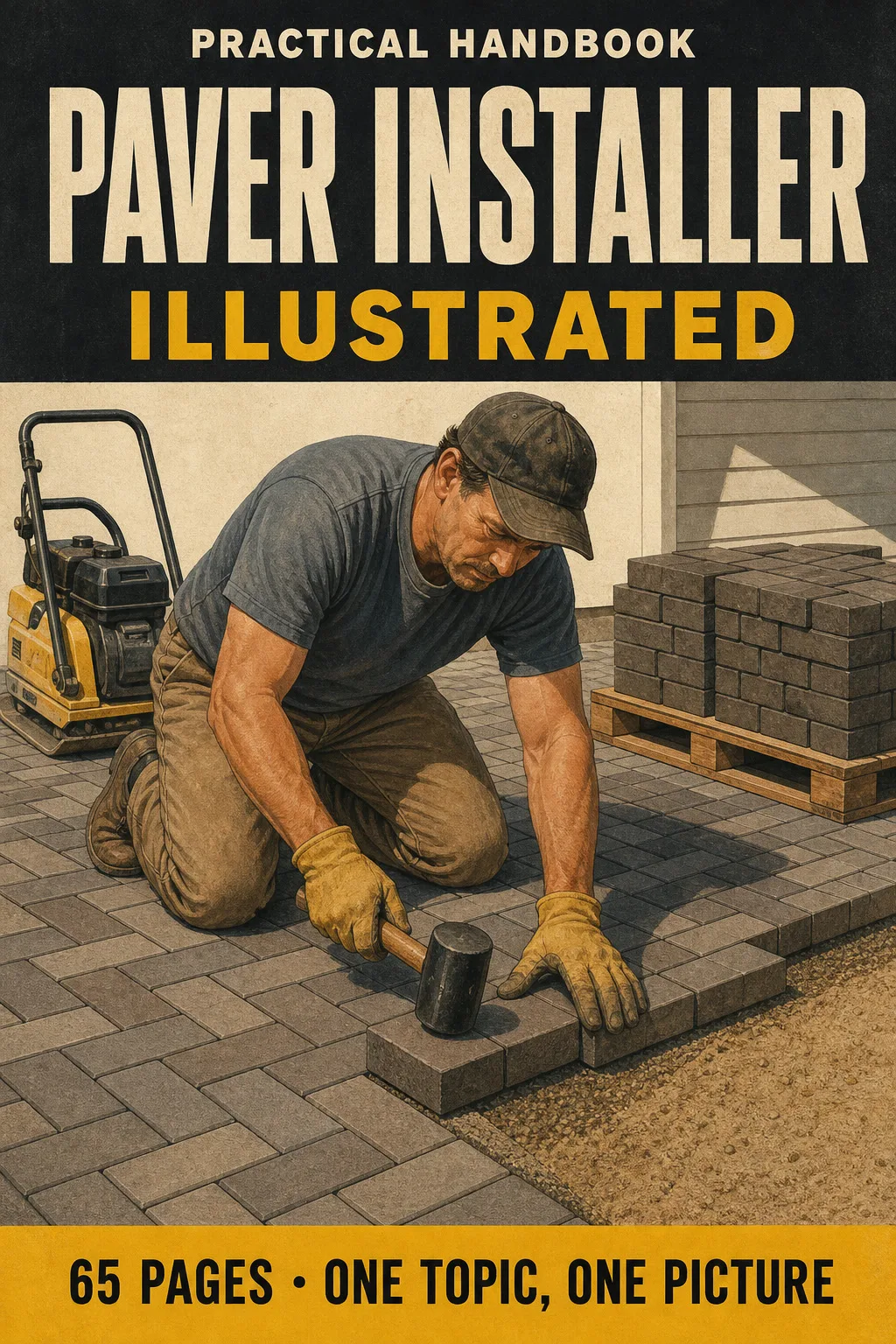
Paver Installer Illustrated

The paver installer's study book with every topic drawn: the pavement cross-section layer by layer, excavation depth by…

From US$ 27 US$ 63

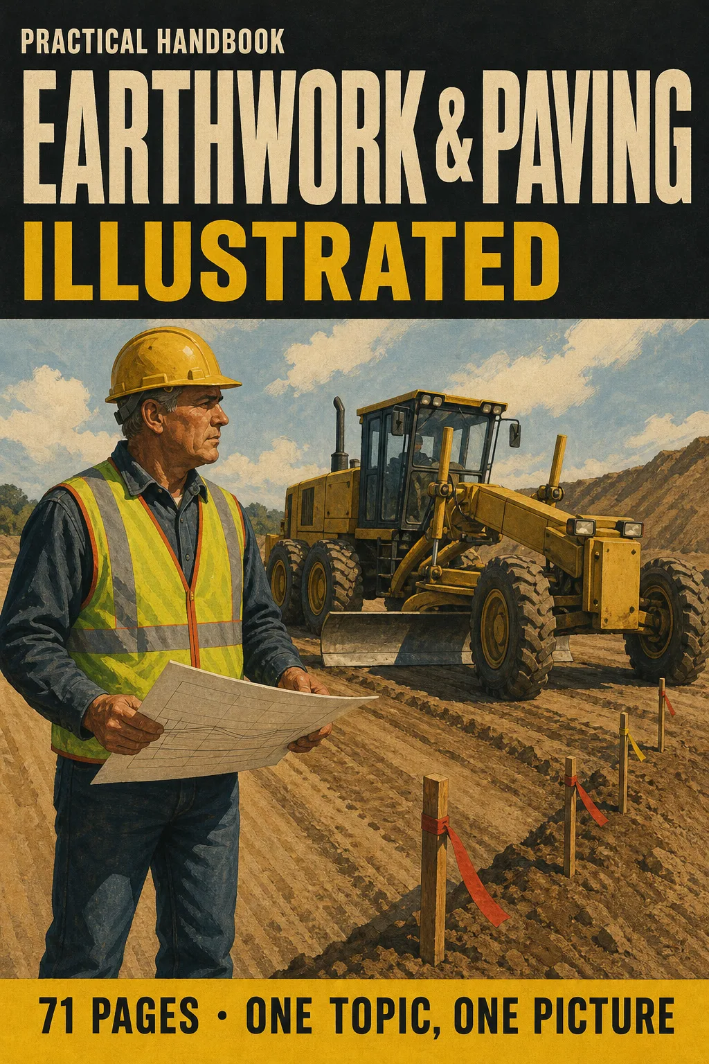
Earthwork & Paving Illustrated

Earthwork and paving explained one topic per page, every concept drawn: read grading plans at a glance, work cut and…

From US$ 27 US$ 63

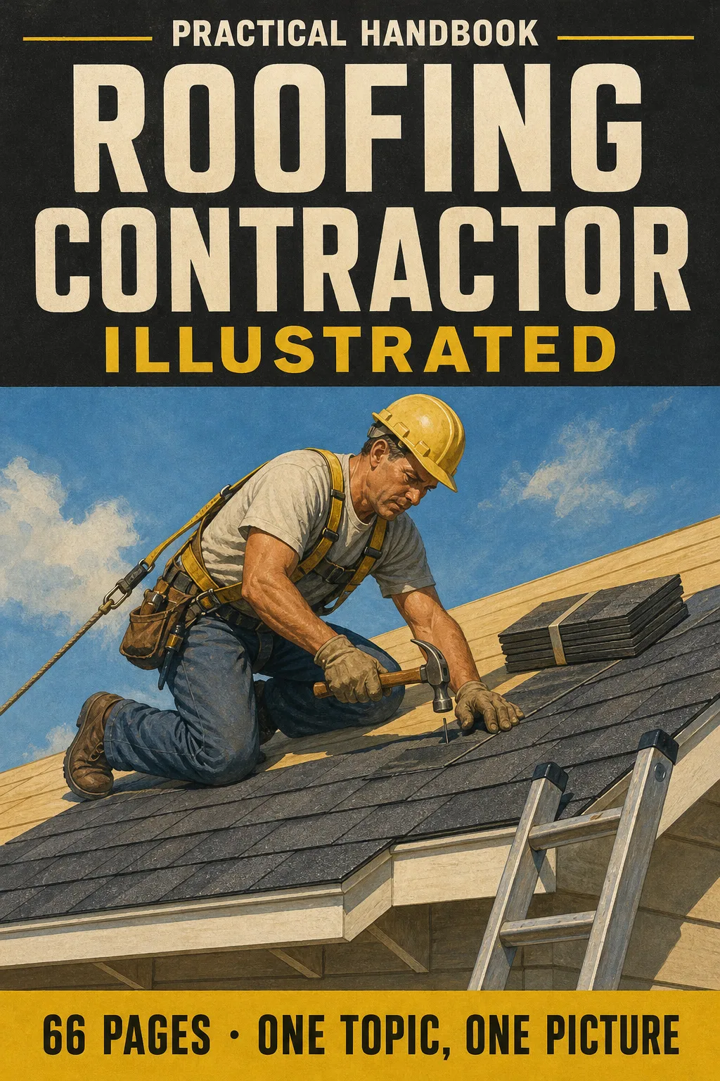
Roofing Contractor Illustrated

The roofing trade, one topic per page, every page a clear drawing: roof anatomy, pitch and squares with worked…

From US$ 27 US$ 63